Episode 23, 15 November 2019
Analysis
Description
Meteorological background
Between 10 and 15 November, three cyclones passed over the Adriatic, driven by a wide upper-level trough in western Europe and a pronounced ridge in the east. These conditions caused persistent moderate to strong southeasterly winds over the Adriatic. On 10 November, a cyclone developed in the western Mediterranean, deepening as it moved toward Sardinia and the Tyrrhenian Sea, intensifying southeasterly winds over the Adriatic by 12 November, with hurricane-force gusts in some areas. The cyclone reached the Adriatic on 13 November, inducing gale-force winds before weakening. By 14 November, the cyclone had moved eastward, and a new cyclone developed in the Gulf of Lion, moving toward the Gulf of Genoa and northeastward. On 15 November, its stationary frontal system maintained a strong southeasterly wind over the Adriatic.
Sea-level evolution
On 15 November, UTC, sea level in Bakar reached 92 cm above long-term mean. During this maximum, tide had semidiurnal spring-tide character, contributing 22 cm. Although sea level peaked only two days before (during another flooding episode), no obvious ~21.2-hour oscillations were present prior this flood, indicating that synoptic component was dominated by a storm surge, which contributed 14 cm.
The remaining sea-level rise resulted from processes acting on other time scales (refer to Figure 1 in the Introduction for detailed explanations). High-frequency oscillations had minimal impact, adding only 5 cm, planetary-scale variability added 24 cm, and long-term sea-level change contributed 27 cm.
In summary, the flood resulted from a combination of contributing processes, with all components – except high-frequency oscillations – playing significant and nearly equal roles.
Newspaper reports
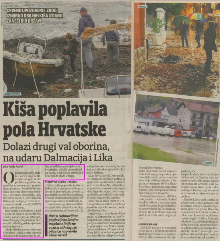
Here is an excerpt from report about the flood from Jutarnji list.
RAIN FLOODS HALF OF CROATIA
Another wave of precipitation is on its way, affecting Dalmatia and Lika
Yesterday, heavy rainfall fell across most of Croatia, causing problems for residents, especially in road and maritime traffic. The situation was particularly dramatic in the northern Adriatic, northern Dalmatia, Lika, Gorski Kotar and inland Dalmatia, for which the Croatian Meteorological and Hydrological Service (DHMZ) issued a red alert.
The Sirocco wind in Kvarner toppled trees on Friday night and, according to the Istramet portal, a storm with heavy rain and a strong wind gust even produced a waterspout above Umag.
Although the waterspout only lasted about ten seconds according to eyewitness reports, it was enough to cause considerable material damage. For example, a boat sank in the harbor and the strong wind damaged the roof of a building in the town of Umag.
