Episode 24, 23 December 2019
Analysis
Description
Meteorological background
From 18 to 20 December, a major upper-level trough and cyclonic activity affected western, central, and southern Europe, while an upper-level ridge and anticyclone dominated further east (pressure over Turkey: 1030 hPa). This setup created a strong pressure gradient over Europe, resulting in moderate to gale-force southeasterly winds over the Adriatic. On 21 December, a cyclone formed over the Gulf of Genoa, moving to the northern Adriatic, intensifying to 990 hPa, and supporting a southerly flow. A secondary cyclone developed early on 22 December, deepened to 985 hPa, and rapidly crossed the Adriatic, accompanied by strong southeasterly and southwesterly winds and heavy precipitation. As the cyclone moved eastward, winds shifted to westerly and northwesterly across much of the Adriatic.
Sea-level evolution
On 23 December 2019 at 05:00 UTC, Bakar’s sea level rose to 94 cm above long-term average, peaking during a semidiurnal spring tide (27 cm contribution). This maximum occurred a day after the decisive cyclone crossed the Adriatic, resulting from the interaction of pre-existing seiches (~21.2 hours), tide, and an raised background sea level. Earlier cyclones on 13 December caused storm surge and basin-wide oscillations but no extreme sea level due to a negative tide. Seiches weakened until 21 December when a new cyclone intensified them, further enhanced by the 22 December cyclone. As winds subsided and shifted to westerly/northwesterly on 23 December, the positive seiche phase aligned with the tide, creating the high sea level. At its peak, synoptic component, dominated by free oscillations, contributed 30 cm.
The remaining sea-level rise resulted from processes acting on other time scales (refer to Figure 1 in the Introduction for detailed explanations). High-frequency oscillations were negligible and added 2 cm, planetary-scale variability contributed 22 cm, and long-term sea-level change added 13 cm.
The flood resulted from the positive superposition of all five processes, with synoptic component having the strongest effect, and high-frequency oscillations the weakest.
Newspaper reports
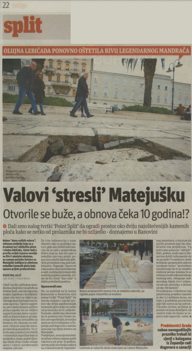
Online articles mention that a total of 23 firefighting operations were recorded, involving the removal of trees, pumping out water and recovering vehicles in Poreč, Umag, Rovinj, Cres, Rab, Rijeka and Opatija. Zadar experienced a short but destructive waterspout, resulting in damage to roofs, electricity pylons, vehicles and trees. In Brodarica in Šibensko-kninska County, one person died when they tried to secure a boat during the storm and fell into the sea. Split’s iconic seafront promenade, known as the Riva, and adjacent stretches of coastline were significantly damaged. In Omiš, the old town was flooded, which was one of the worst situations. Traffic obstructions, fallen trees and flooded roads were reported all along the coast from Istria to Dubrovnik.
