Episode 12, 24 November 1987
Analysis
Description
Meteorological background
In the days leading up to the flood, a deep upper-level trough extended from northern Scandinavia to Africa, bringing southwesterly winds and warm, humid air to the Mediterranean. On 23 November, a deep upper-level cyclone formed over the western Mediterranean, leading to a surface cyclone over Spain that moved northeastward across Europe. This intensified air-pressure gradients, strengthening southerly and southeasterly winds over the Adriatic, especially in the eastern part of the basin. The Sirocco wind intensified on 24 November, reaching severe intensity, accompanied by heavy rain in coastal areas. Wind speeds peaked just before the extreme sea level was recorded in Bakar at 21:00 UTC.
Sea-level evolution
On 24 November 1987, at 22:00 UTC, Bakar’s sea level rose to 90 cm above the long-term mean. The sea-level peak occurred during tide’s transition from negative to positive phase, contributing only 5 cm to the total sea level. Before the flood, the Adriatic region experienced no significant cyclonic activity, therefore no seiches (~21.2 hours) were present in the basin, hence, synoptic component mainly consisted of a storm surge, which contributed 48 cm to the overall maximum.
The remaining sea-level rise resulted from processes acting on other time scales (refer to Figure 1 in the Introduction for detailed explanations). High-frequency oscillations contributed 4 cm, planetary-scale variability added 23 cm, and long-term sea-level change added 10 cm.
In summary, this flood was the result of a constructive superposition of all components, with significant contribution from synoptic component.
Newspaper reports
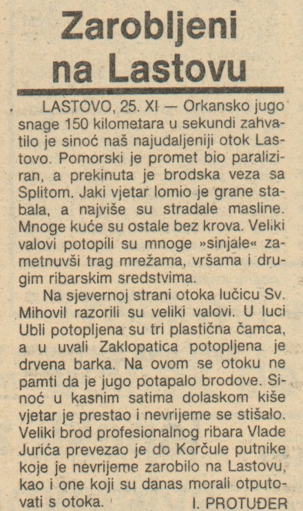
Here are excerpts from reports about the flood from Novi list and Slobodna Dalmacija.
RAB
Insufficient bread supply
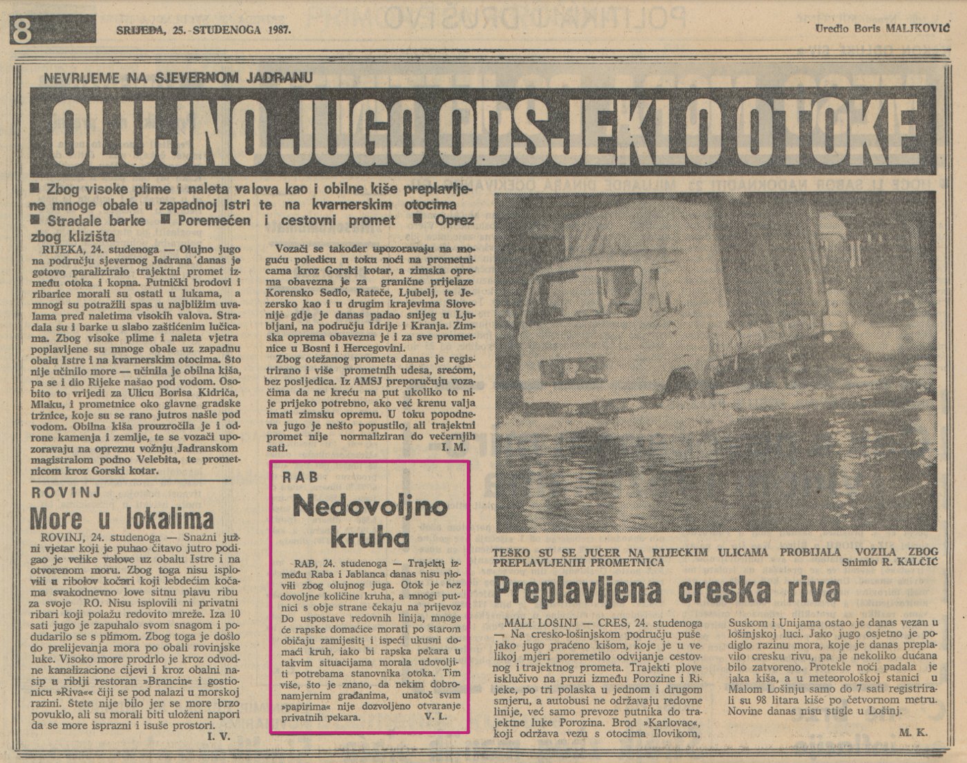
RAB, November 24 — The ferries between Rab and Jablanac are not operating today due to the stormy winds. There is insufficient bread supply on the island and many passengers on both sides are waiting for transportation. Until the regular lines are restored, many housewives on Rab will have to resort to the old tradition of kneading and baking tasty homemade bread, although the bakery on Rab should cover the needs of the islanders in such situations. This is all the more urgent as it is known that some well-meaning citizens are not allowed to open private bakeries despite all the “papers”.
Aftermath of the Storm
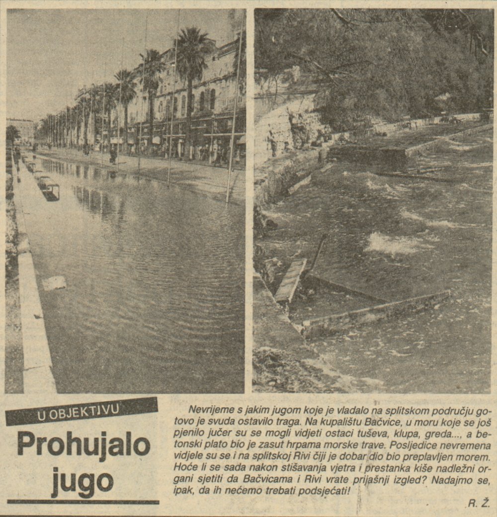
The severe storm with strong winds that hit the Split area has left its mark almost everywhere. On Bačvice beach, the remains of showerheads, benches, beams and other debris could be seen in the sea, which was still foaming yesterday, and the concrete platform was covered with piles of seaweed. The consequences of the storm could also be seen on the Split Riva, which was largely submerged by the sea…
CAVTAT
Cellars and stores flooded
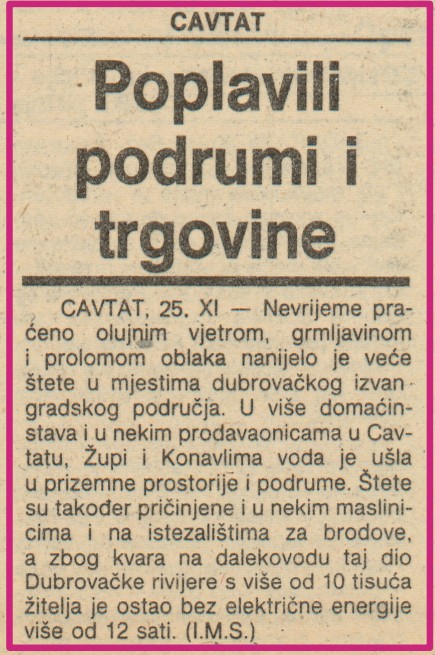
CAVTAT, Nov. 25 — The severe storm, accompanied by gale force winds, thunder and downpours, has caused considerable damage in the suburbs of Dubrovnik. In many households and some stores in Cavtat, Župa and Konavle, water penetrated into first floor rooms and cellars. Some olive groves and boatyards were also damaged, and due to a fault in the power line, this part of the Dubrovnik Riviera with more than 10,000 inhabitants was without electricity for more than 12 hours.

