Episode 10, 25 October 1980
Analysis
Description
Meteorological background
On 24 October, an upper-level trough descended from northern Europe to the Mediterranean, forming an upper-level cyclone. At the surface, a cyclone developed over the Gulf of Genoa and rapidly deepened on 25 October, moving southeast. This caused heavy rainfall and intensified air-pressure gradients, producing strong southerly and southeasterly winds over the Adriatic, especially along the eastern coastline. The northern and middle Adriatic experienced strong Sirocco, peaking at 09:00 UTC, just before sea level in Bakar reached its maximum. By the day’s end, the cyclone moved towards Italy, with northeasterly winds dominating the northern Adriatic.
Sea-level evolution
On 25 October 1980 (10:00 UTC), sea level in Bakar rose to 95 cm above the long-term average. During this episode, tide was of semidiurnal spring-tide character and contributed 13 cm to the total sea-level maximum. Earlier atmospheric disturbances (11–12 and 17 October) raised water level in the northern Adriatic, triggering ~21.2-hour oscillations, but these seiches dissipated before the decisive cyclone crossed the Adriatic on 25 October. Therefore, synoptic component during this episode was not influenced by pre-existing seiches and was dominated by a storm surge. The sea-level maximum coincided with the storm-surge peak, reaching 49 cm.
The remaining sea-level rise resulted from processes acting on other time scales (refer to Figure 1 in the Introduction for detailed explanations). High-frequency oscillations contributed 16 cm, planetary-scale variability added 4 cm, and long-term sea-level change added 13 cm.
In this flooding episode, all processes had positive contributions, with synoptic component having the greatest impact. High-frequency oscillations, tide and long-term sea-level change had similar effects, while planetary-scale variability had the smallest impact.
Newspaper reports
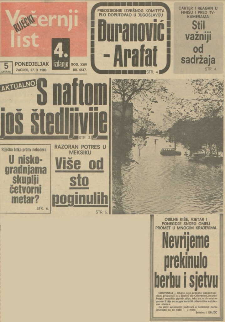
Here are excerpts from a report about the flood from Novi list, Slobodna Dalmacija and Večernji list.

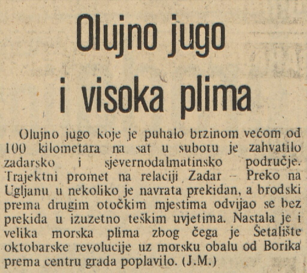
Stormy sirocco wind and high tide
A stormy sirocco wind with speeds of over 100 kilometers per hour hit the region of Zadar and northern Dalmatia on Saturday. Ferry traffic between Zadar and Preko on the island of Ugljan was interrupted several times, while boat traffic to other island locations continued uninterrupted under extremely difficult conditions. There was also considerable flooding, so that the October Revolution promenade along the coast from Borik towards the Zadara city center was flooded.


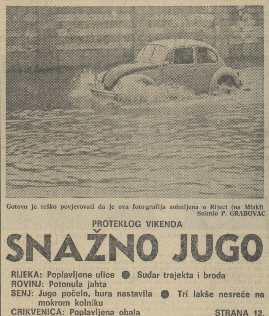
LAST WEEKEND
STRONG SIROCCO WIND
RIJEKA: Flooded roads – Collision between ferry and boat
ROVINJ: Sunken yacht
SENJ: Sirocco wind has started, Bura continues – Three minor accidents on wet roads
CRIKVENICA: Flooded coast

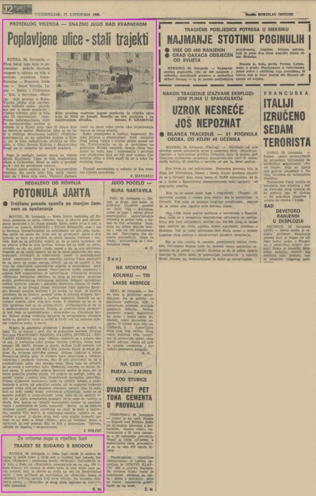
RIJEKA, October 26 — Due to the strong sirocco wind, which at times blew at gale force, ferry services were suspended on Saturday: Porozine – Brestova, Jablanac – Stara Novalja, Lopar – Baška and Crikvenica – Šilo, and the ferry “Slavija” did not dock in Rab. The high water not only caused problems for the ships, but also flooded the Rijeka market, where there was about 25 centimeters of water. According to the Rijeka meteorological station, about 25 liters of rain per square meter fell in Rijeka on Saturday. Although there was not heavy rainfall, “Voplin” workers had to intervene in several places in Rijeka because leaves had blocked the drains…
The sirocco wind has raised the sea level in large parts of the Kvarner region. The coast of Crikvenica was flooded. The sea spilled into the town park and up to the bus station. The rise in sea level was also felt on the Kvarner islands. Fortunately, there were no strong waves, so the damage was not extensive. The boat owners had their hands full reinforcing the moorings for their vessels…
During the sirocco wind in the port of Rijeka
FERRY COLLIDES WITH A SHIP
RIJEKA, October 26 – Strong sirocco wind caused a collision yesterday at 10:45 a.m. between the ferry in the port of Rijeka between the ferry “Kalmar” and the motorboat “Risnjak”. There were no injuries, and the damage to the “Risnjak” is estimated at about 100 thousand Jugoslavian dinars. The collision occurred when a strong sirocco gust of wind “pushed” the ferry, which was traveling along the Beogradsko coast from the anchorage to the berth, against the “Risnjak” and damaged its protective railing. The ferry was not damaged and the “Risnjak” sailed to the Cypriot port of Limassol on the same day.