The first version of this online catalogue had been taken over from a paper published by Mirko Orlić (Orlić, 2015). The second version, and all latter versions of the catalogue, have been built by Jadranka Šepić and Mirko Orlić, by taking into account and scrutinizing the additional information, as it became available. The second version was hosted online by the Institute of Oceanography and Fisheries in Split. The third version of the catalogue is presented herein. This version has been built with support of Hrvoje Mihanović (Institute of Oceanography and Fisheries, Split), Iva Međugorac and Iva Vrkić (both from Department of Geophysics, Faculty of Science, University of Zagreb).
The initial information used to build the present catalogue is contained in a couple of papers (Zore-Armanda, 1988; Tabain and Tabain, 1994), as well as in the notes kept by Mirko Orlić over the last thirty or so years. For all the dates when tsunami-like waves possibly occurred, newspapers were inspected to find articles describing the waves. The first cases considered were from the early 1930s because prior events were usually attributed to the year only and are therefore not easily verified. Two verifications were performed for all of the dates.
The first check was a comparison with an earthquake catalogue (Herak et al., 1996, with updates) to ensure that an event in the sea was not preceded by a major earthquake. It turned out that only one of the initial cases – the event of 15 April 1979 – was a tsunami, and it was therefore not included in the present catalogue.
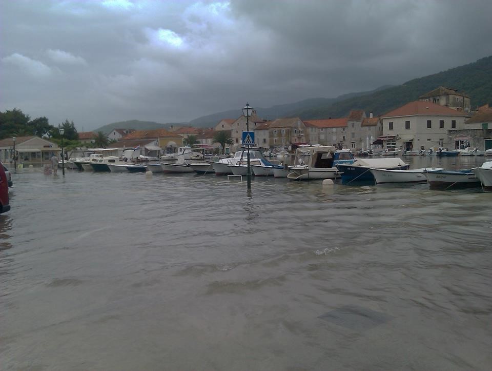
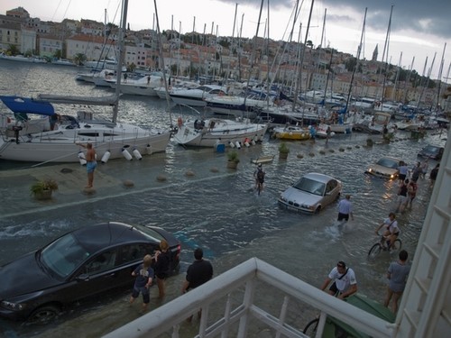
The second check was a comparison with sea level records from Bakar (hourly data: Međugorac et al., 2023), the oldest Croatian tide-gauge station, with the aim of detecting a possible storm surge in the Adriatic on the day considered. Because the occurrence of tsunami-like waves of meteorological origin may coincide with the development of storm surge, inexperienced observers may easily confuse the two phenomena. Consequently, all cases when the sea level at Bakar surpassed the mean sea level by 50 cm were marked in the catalogue to indicate that additional data and/or modelling may be needed to verify their true nature. To each event, an indicator of the quality of available information was assigned. The indicator was selected from a five-grade scale as follows:
(1) elementary description of sea-level variability;
(2) advanced description of sea-level variability;
(3) description of sea-level variability combined with an analysis of meteorological data;
(4) analysis of oceanographic and meteorological data supplemented by oceanographic or meteorological modelling, and
(5) analysis of oceanographic and meteorological data combined with both oceanographic and meteorological modelling.
This version of the catalogue is supplemented with analysis of synoptic conditions during all events. For the events that occurred before 1 January 1950, synoptic analyses were done using the NOAA-CIRES-DOE Twentieth Century Reanalysis Project version 3 dataset (Slivinski et al., 2019). For the events that occurred after 1 January 1950, synoptic analyses were done using the ERA5 global reanalysis dataset (C3S, 2017; Hersbach et al., 2020).
Wherever available, sea level and air pressure measurements originating from the closest tide gauge and meteorological stations are shown. Sea level measurements from Mali Lošinj, Split-Marjan, Stari Grad and Vela Luka were provided by the Institute of Oceanography and Fisheries (Split, Croatia). Sea level measurements from Bakar were provided by the Department of Geophysics (Faculty of Science, University of Zagreb). Air pressure measurements from Vrboska, Vela Luka and Stari Grad were provided by the Institute of Oceanography and Fisheries (Split, Croatia). Additional air pressure measurements were obtained through the Croatian amateur meteorological network Pljusak.